Bordeaux most useful maps
Bordeaux is the 5th biggest metropole in France with 1 million people. It is located in the southwest of France, 580 kilometers from Paris, in a Province named Nouvelle Aquitaine.
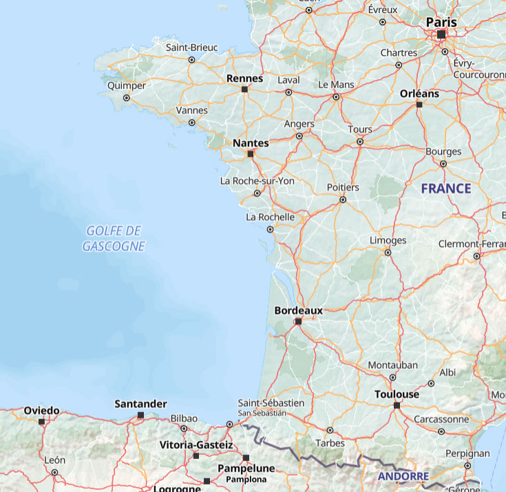
Exploring Bordeaux is a delight, but having the right maps can make your visit even smoother.
Here are a few useful maps for you.
Book our free walking tour of Bordeaux old center now!
Interactive map of Bordeaux
The city hall of Bordeaux has created an interactive map that I find very useful. Just zoom in your location and search for the service you are looking for. The map is in french but it is very easy to use.
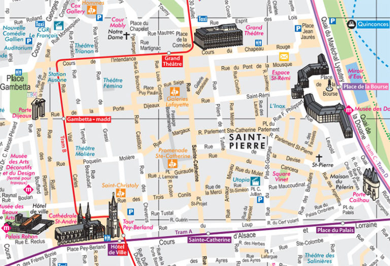
Tourist Map of Bordeaux
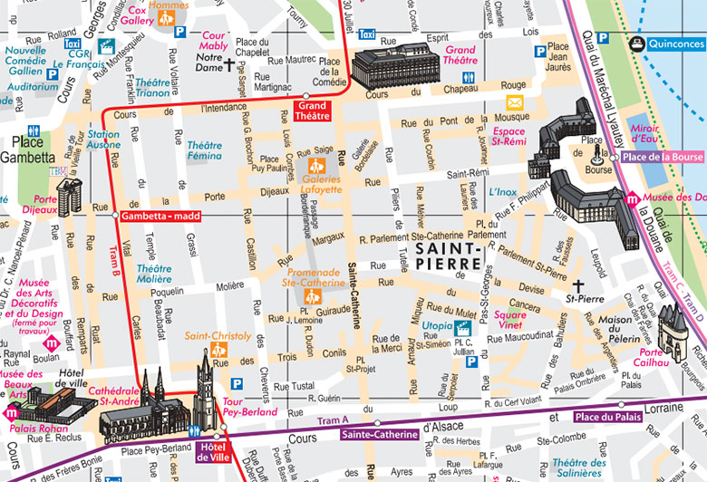
This map is printable. Just click on the link below to open it it a new tab. The you can either print it, eather download!
Available at the Tourist Office, this map highlights key landmarks like Place de la Bourse, Saint-André Cathedral, and the Grosse Cloche.
In case you want to visit a museum in Bordeaux, I recommend the Museum of Fine Arts!
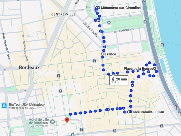
And here is an easy free self guided tour of the city center.
Bordeaux and surroundings tourist map
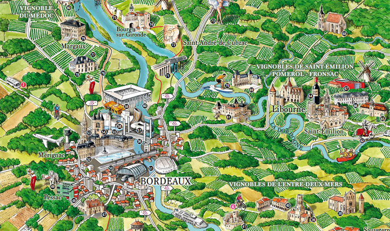
Perfect for day trips to Saint-Émilion or the bay of Arcachon, this map shows tourist attractions in the region of Bordeaux and scenic routes.
Or course, if you feel a bit lost and don’t know where to start you’re journey in Bordeaux, come and join our free walking tour of the old center of Bordeaux!

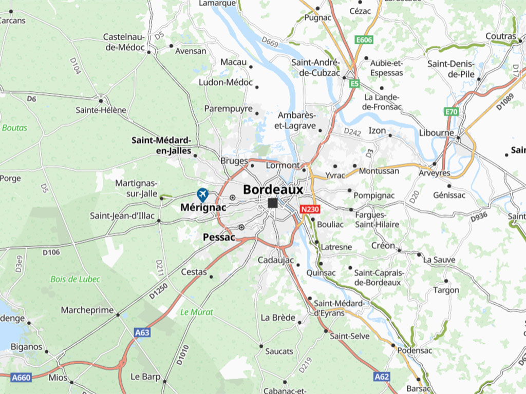
We ard planning on visiting the surrounding area near Bordeaux, do your have a guide book to Gironde/Bordeaux surrounding areas, listing both accommodations and things to do? If yes can I download or can you send me a hardcopy?
Hi Orla!
Sorry, I don’t have such a guide book!
I will write some articles about Bordeaux surrounding areas in the future! 😊
Mean while, you can read this article about day trips from Bordeaux !
https://beyondbordeaux.com/tours-from-bordeaux/